Neversink East, in the Town of Denning, encompasses the headwaters of the east branch of the Neversink River. A mile and a half on an old road (Phoenicia-East Branch trail, blazed yellow, to Peekamoose-Table trail, blazed blue) offers a mountain experience, with minimal effort, through dense stands of conifer and mixed deciduous forest. Eight Catskill High Peaks, including four trail-less summits, are directly accessible from the stream valley for the more ambitious.
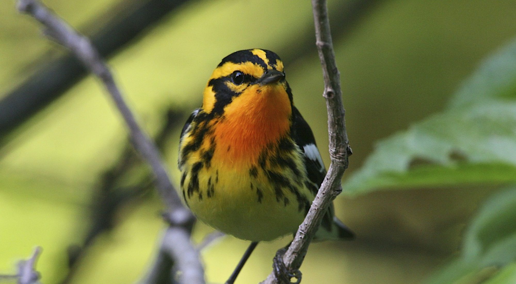
Deciduous-forest birds breed in summer, and the river valley funnels high-elevation forest species during spring and fall migration. Common Redpolls and Pine Siskins can be found in impressive numbers during the winter months, and Pine Grosbeaks and Crossbills are likely in invasion years.
Directions: From the Slide Mountain trailhead, continue 16 miles on CR 47 through Frost Valley and to Sullivan County. Briefly enter Sullivan County where Ulster CR 47 changes to Sullivan CR 157, turn left on CR 19 toward Claryville, following Denning Road for 7.9 miles to the NYS DEC trailhead at the end of the road.
Latitude, Longitude: 41°57’55″N, 74°27’08″W
M UF | All