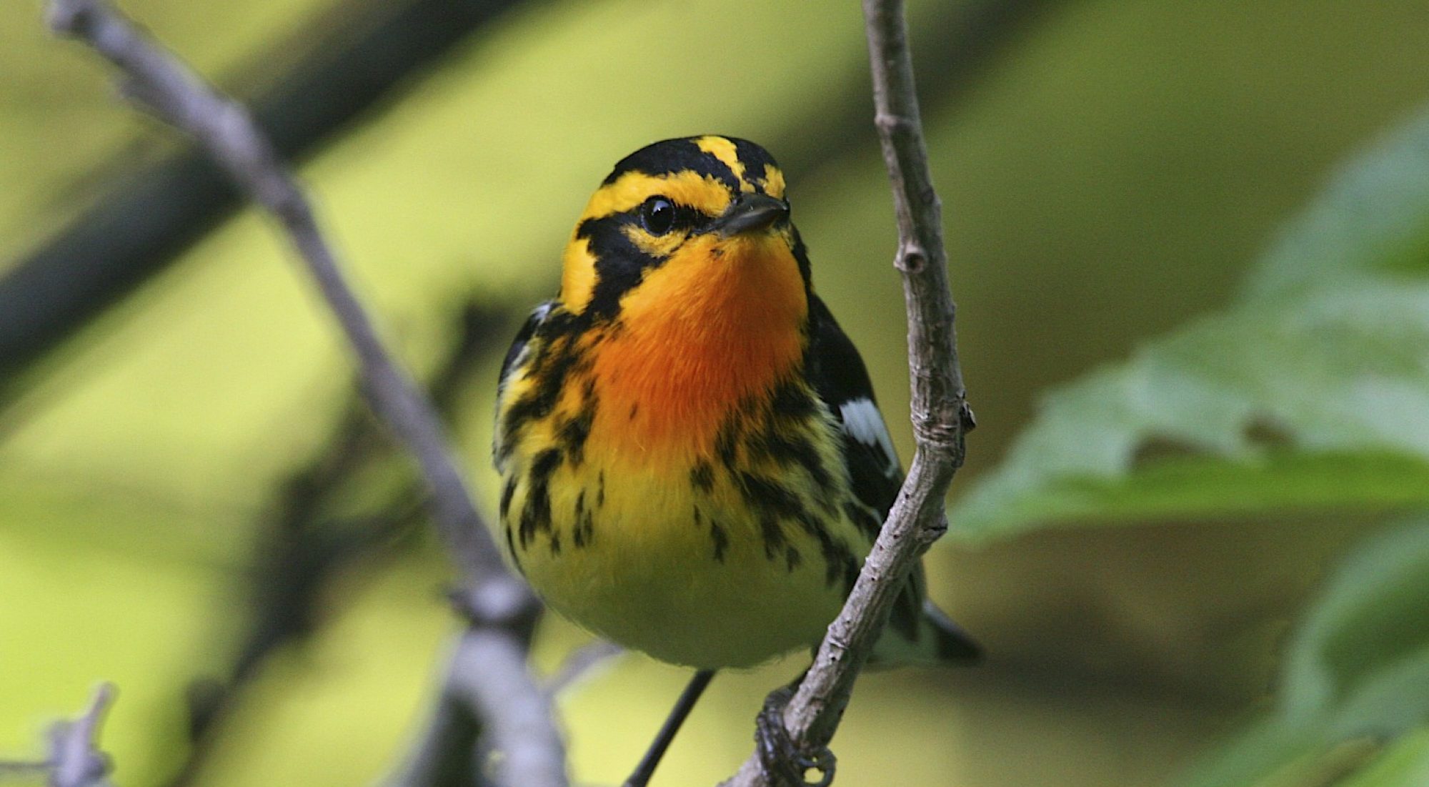
Peekamoose Road provides easy access to montane habitat with waterfalls, mountain streambeds, and steep rocky slopes along a paved road in the towns of Olive and Denning. This is a breeding area for a variety of low elevation woodland birds and for Acadian Flycatchers at their northern-most range limit.
Directions: Take SR 28 west of Kingston, before entering Boiceville turn left onto SR 28A. In approximately 3 miles, turn right onto CR 42/ Peekamoose Road. In 3.7 miles, the road enters state land. For the next 8 miles, until the hamlet of Sundown, there are pull-offs, trailheads, and other parking areas to stop, look, and listen.
Latitude, Longitude: 41°54’53″N, 74°25’44″W
M UF | Sp Su
